7 Day Cape to Cape Itinerary
The Cape to Cape track is a roughly 130km long trail along the coast in South West WA. The trail is on Wardandi boodja and I would like to acknowledge the traditional owners of this land and pay respects to its elders past, present and emerging.
This trail is an amazing adventure and can be taken at whatever pace you are comfortable with. Some of the hikers I met along the trail were completing the trek in 3-4 days! That is definitely not my pace. I took it slow… mainly because I did absolutely no training and my calves were killing me but also because I wanted to have the time to be able to enjoy the beauty around me.
Be sure to check out my guide for everything you need to know about the Cape to Cape Track.
Read on below to see my 7 day Cape to Cape itinerary.
Day 1 - Cape Naturalist Lighthouse - Yallingup - 15kms
The Cape to Cape is a thru-hike with a lighthouse located at either end. You can hike it beginning at either end but the recommended direction is walking north to south as this keeps the sun to your back. I started my walk from the north.
I stayed the night before my hike at the Tasman Holiday Parks caravan park in Yallingup. As this is a thru-hike meaning you will start at one location and end at another I organised transport to and from the trail heads to my accommodation. I used Cy at Southwest Driving Services for this. This cost me around $150 total for both transfers. I walked solo and this would be reduced if walking in a group.
There is plenty of parking at the Cape Naturalist lighthouse so some hikers leave their car here for the duration of their trip and then get transferred back to their car once they have completed the trail.
If you want to walk up and touch the lighthouse then be aware that it is managed so you will need to depart within its operating hours (which is easy as the first day is only 15kms). The lighthouse is open daily from 9 am to 5 pm and the cost of entry is $12. If you are departing on a weekend then there is a cafe located here also (just remember to pack any rubbish out with you if you take it on the trail).
Once you set off from the trailhead there is a guest book station where you can register your hike. A large portion of this section of the hike is paved which makes for easy hiking. I also only took a day pack today as I was hiking back to the same accommodation site I had stayed the night before.
There is an official trail campsite along this stretch (Mt Duckworth Campsite) I stopped here for a snack and a water break but I preferred to walk a little further to reduce my distance on day 2. It was a luxury to have access to a shower and have everything set up when I reached camp after day 1.
Day 2 - Yallingup to Moses Rock Campsite - 21kms
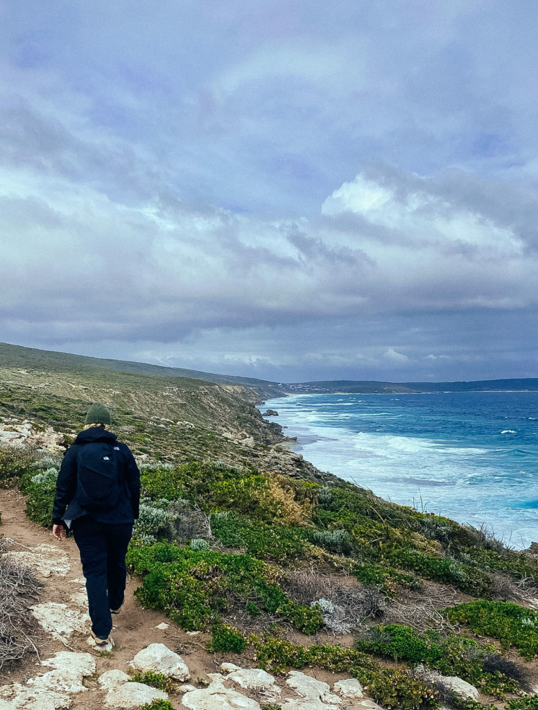
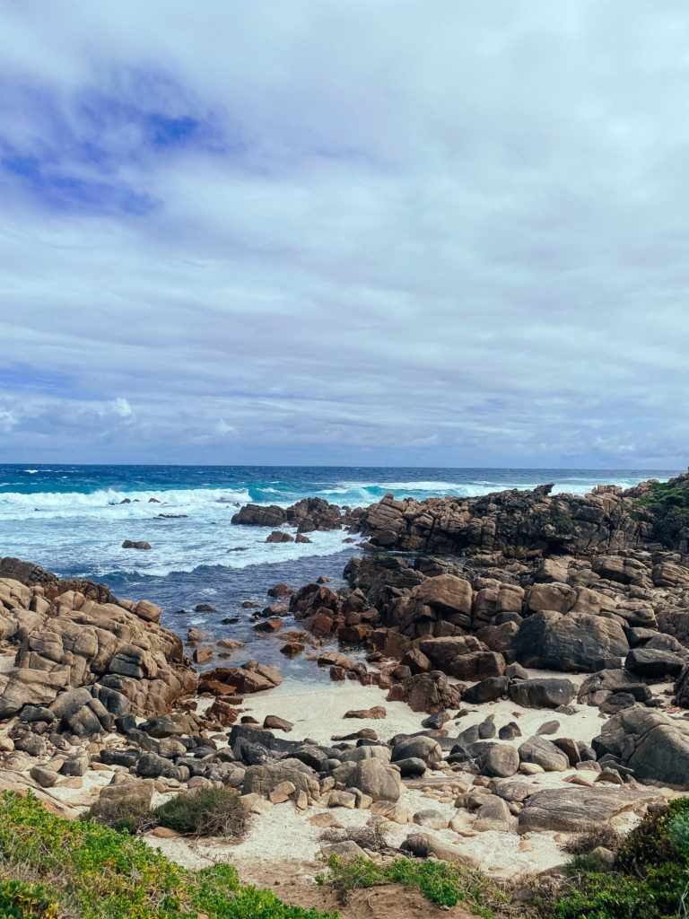
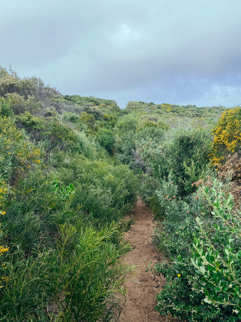
Do not underestimate day 2! I had a lazy morning on day 2 and didn’t pack up and leave camp until 9 am. Day 2 kicked my arse and smacked me back into reality. The landscapes on day two were spectacular, with amazing cliff top views, breathtaking beaches, unique rock formations and coastal scrub. I walked in September and today was my first glimpse of the wildflowers along the trail.
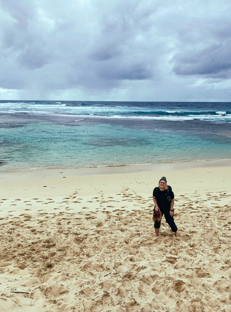
Gunyulgup Brook drains across the beach at Smiths beach on the first section of today’s hike. I didn’t see this in any of the other guides or blog posts so I wasn’t expecting it. The majority of the year it would be possible to walk straight through the shallowest section of the brook without even taking your shoes off. I came on the back of a big week of rain so the brook was flowing substantially. Myself and two other hikers decided it was too deep to keep our shoes on. After we had taken our shoes off and crossed through the water there was a carpark at the end of the beach where we were able to sit and clean our feet off before putting our hiking boots back on.
I stopped at the Injinup Natural Spa for a snack break and ended up staying way too long taking in its beauty. After the late start and the extended break, I ended up getting to camp just as the sun was setting. today isn’t the biggest distance but it was the latest I arrived to camp out of all of the days.
There are no reliable water sources along this part of the trail but thankfully there is a water tank at the Moses Rock campsite (just be sure to treat the water before drinking). There is also a composting toilet and some picnic tables at the campsite. This campsite is free and works on a first come serve first serve basis. There were roughly 11 other hikers at this campsite when I arrived but there was still plenty of space.
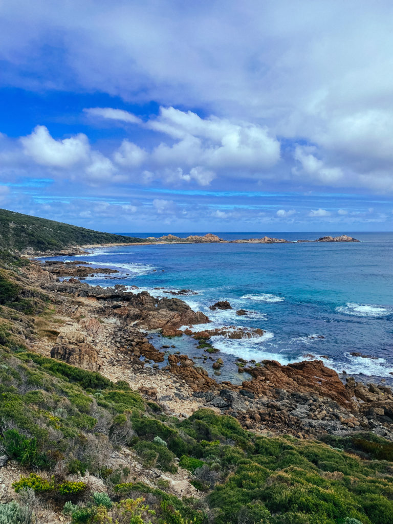
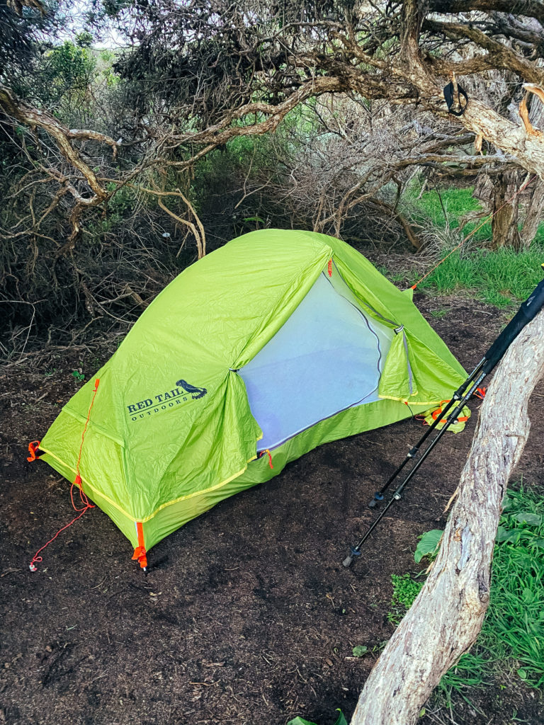
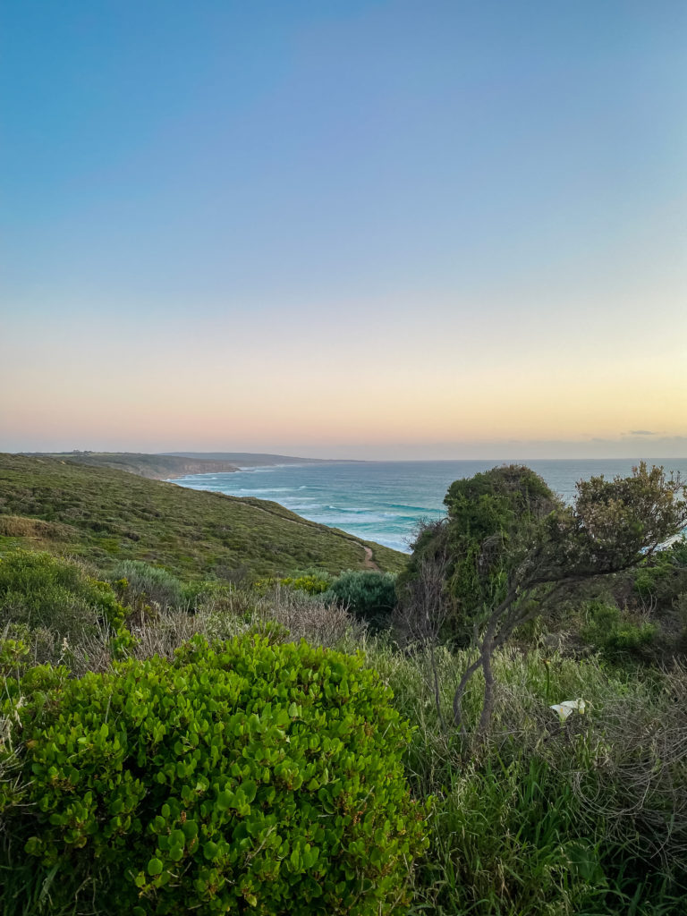
Day 3 - Moses Rock Campsite to Ellenbrook Campsite - 19kms
The view from the camp when you wake up is magical. This was probably my favourite campsite along the track. After I enjoyed my morning coffee along with the view I packed up and started off for the day. The track starts along cliffs above the beach and coastal scrub.
I encountered a lot of surfers today carrying their boards down the track to find a wave without the crowds. I had a small bag with me that I was using to collect trash from a long the trail and I asked a man who had parked his 4WD up and was surveying the waves if I could put it in his car to save me packing it out. Turns out the guy was Taj Burrows (retired pro surfer).
Today you will also encounter the second biggest water crossing on the trail Wilyabrup Brook. Do not underestimate the current and waves at the mouth of this crossing.
I watched a fellow hiker lose their balance and have their hiking poles washed out to sea. Luckily it was just their poles and others came to the rescue to help him out of the water.
I crossed further upstream from the mouth. The water was deeper but the pull from the current was less. The water was roughly up to my waist (it was roughly thigh deep at the mouth).
After a few hours, you will reach Gracetown. The track gets a little difficult to navigate for the last kilometre before you reach town so be sure to look out for the track makers as they can be difficult to spot amongst the rocks.
Once in town head up the hill to Gracie’s general store for a great lunch and restock on supplies. I bought a fresh juice and a delicious pie which I took down to the beach to enjoy. Gracie’s also sells alcohol and I did see a few other hikers packing some beers into their packs for camp that night.
Gracetown is a great spot to stop and have a rest and maybe even a swim if the weather is good (I did and it was so refreshing). But don’t stay too long as the distance for today is not yet finished.
The Ellenbrook campsite is again free of charge and there are no reservations. This campsite is popular with school groups but there is plenty of room. There are basic facilities at the campsite the same as Moses Rock (toilet and water tank).
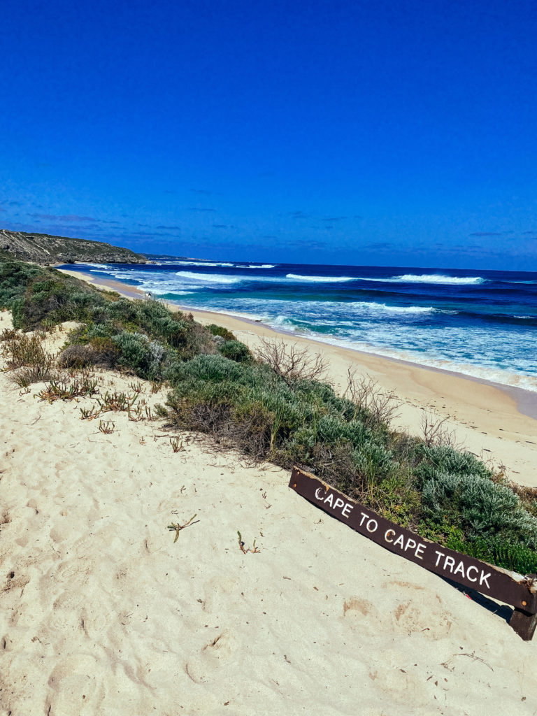
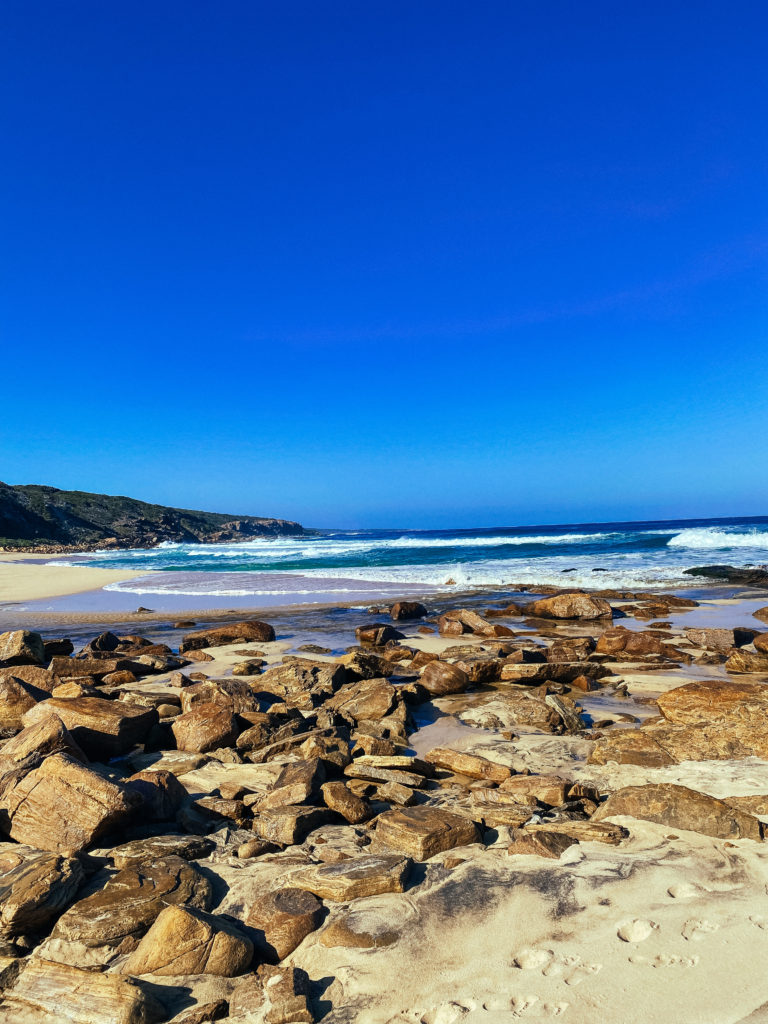
Day 4 - Ellensbrook Campsite - Prevelly - 15kms
Day 4 was a great reprieve from the last two days. I even managed to get to camp early, like 2 pm early! The track today winds its way above the coast through the scrub and if you hike during spring you will be treated to some spectacular wildflowers.
This section has the largest river crossing on the trail. The Margaret Rivermouth is a large crossing and is recommended to cross at low tide or you can organise a canoe crossing beforehand. If the river mouth is flowing too strongly then a diversion will be in place. Unfortunately, when I hiked the trail the diversion was in place still. The diversion doesn’t add any time to your walk but it follows along caves road so the walk is kinda boring.
There are no free campsites in Prevelly so I booked at the Prevelly Caravan Park. To say it was amazing to have a shower at this point is an understatement. They even have a coin laundry here which I took full advantage of. Another bonus is that they have a small general store at their reception and there is a small cafe called the Sea Garden Cafe roughly 200m up the road. By this point, I had made a few friends on the trail and we all headed up to grab a bite to eat and a few margaritas.
The camp kitchen at the caravan park is also great and has electrical outlets so you can charge your devices. Prevelly is also the last town stop on the trail so be sure to stock up on supplies.
Day 5 - Prevelly - Contos Campsite - 13kms
Another relatively easy day. Today the track starts on the beach and also follows along a number of 4wd tracks and limestone cliffs. The section between Redgate beach and the caves is one of my favourites from the track.
I saw whales for the first time along the track. I sat on the cliffs above Contos beach for at least an hour watching them breaching out of the water. It was beautiful!
I stayed at Contos Campground but you can push on a few more kms and stay the night at the Point Road Campsite. Both campsites are paid but if I went back and did the track again I would stay at Point Road instead. The campground at Contos was crowded and noisy and didn’t have any natural buy in the camp itself. The Point Road campsite is nestled into the beautiful Boranup forest.
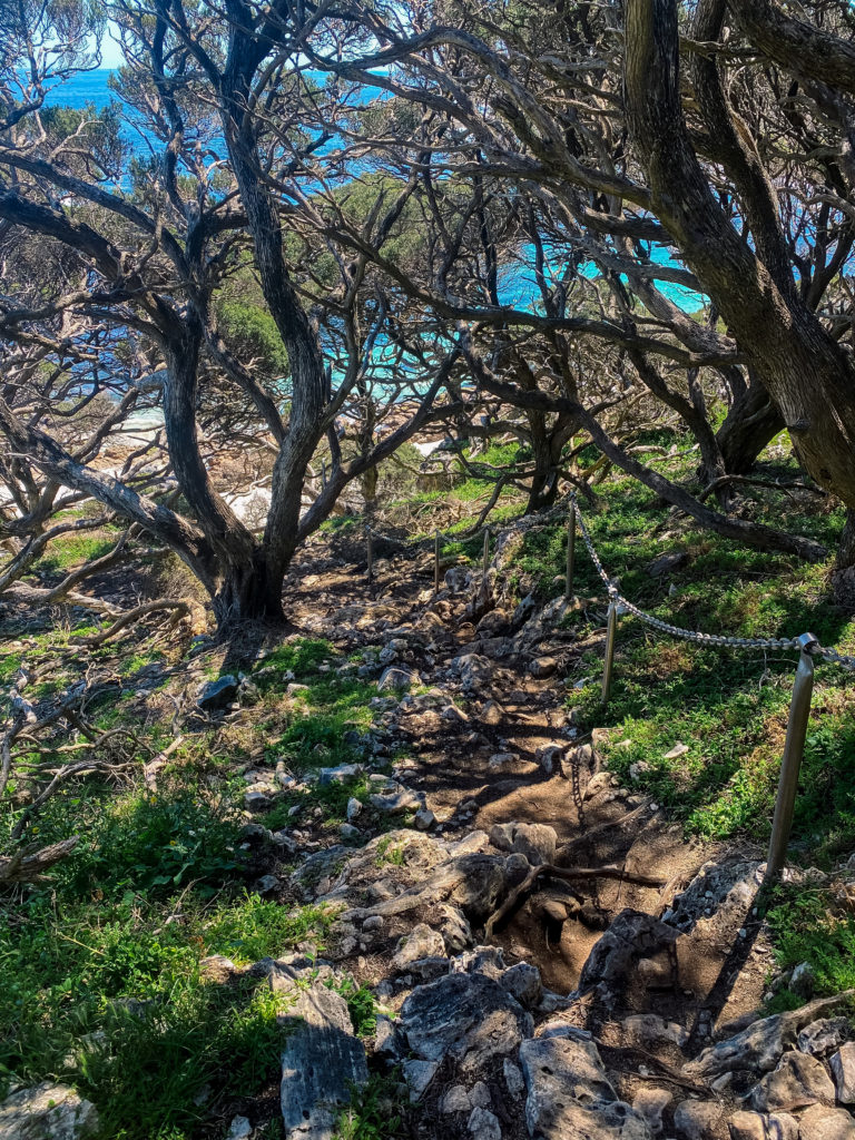
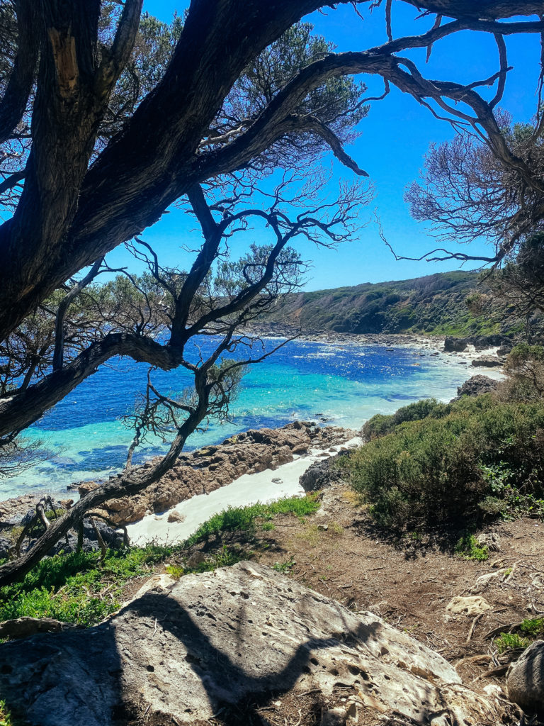
Day 6 - Contos Campground - Hamelin Bay - 22kms
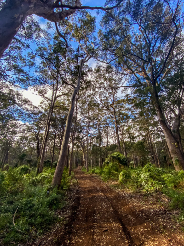
Today was hard. Beautiful but hard. You start off walking for 15kms through the beautiful Borranup Forest with Karri trees towering all around you. Then you hit the beach. This 7kms stretch of sand is unforgiving. The way that the waves crash onto the sand means you have to walk on the soft part of the beach which means it is slow going.
I stayed the night at the Hamelin Bay Caravan Park. They have shower blocks and are located right on the beach. They have a small tuck shop here during the summer months but it still wasn’t open when I visited in September. Thankfully they have a few basic supplies at the reception but don’t rely on them.
You can continue for roughly another 10kms to stay at the free Deepdene Campsite which if you have the stamina I would recommend as it will make your final day shorter. I unfortunately would not have been able to hike another 10kms this day.
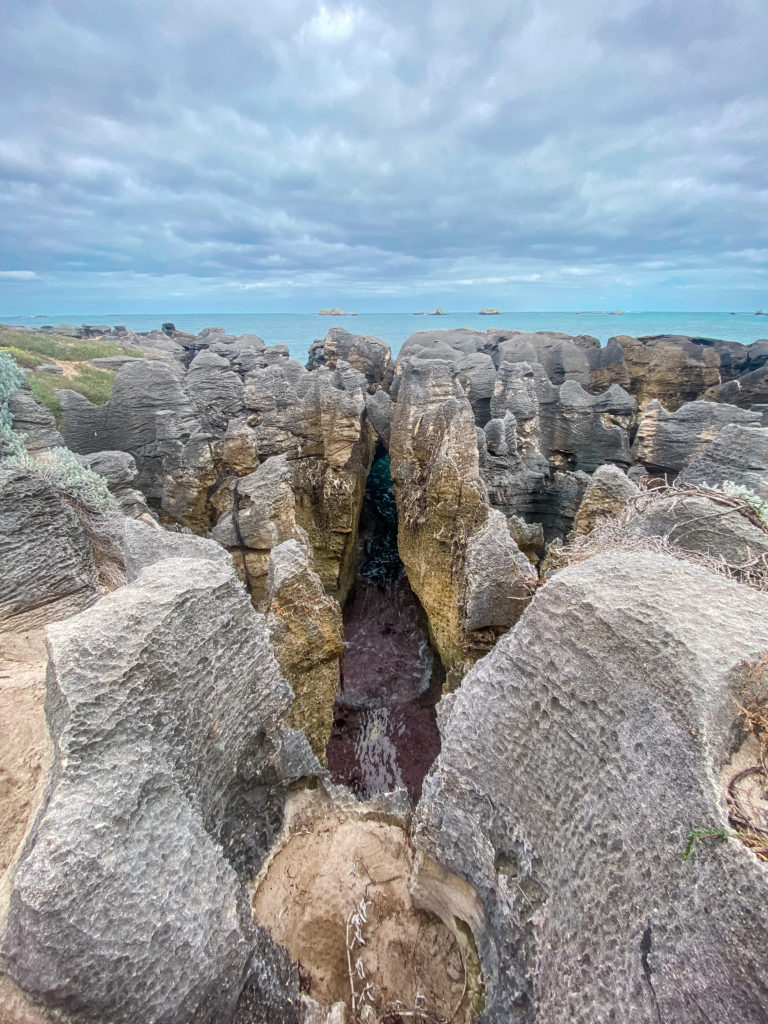
Day 7 - Hamelin Bay - Cape Leeuwin Lighthouse - 23kms
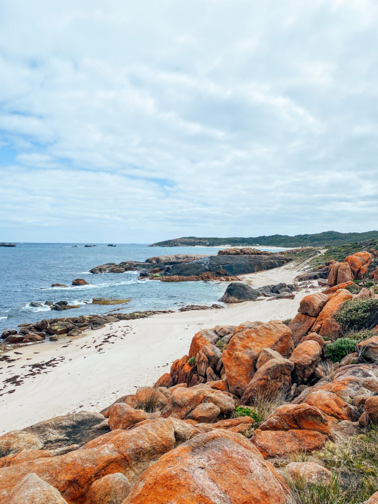
The final day is here! It is also going to be tough. Today is a lot of beach. Like never-ending beach. I was super tired by this time so I hiked twice as slowly as I had on the other days and it was only the knowledge that it was the last day that kept me going.
The first time I saw the Cape Leeuwin Lighthouse in the distance I swear I almost cried with relief even though it was only a matchstick in the distance. The first few kms and the last few kms of today’s track were beautiful but the beach stretches in between were brutal and barren. Today overall was my least favourite of all of the day’s scenery-wise.
There is a shop at the lighthouse when you arrive where you can get a certificate to acknowledge your accomplishment for $5. Unfortunately, I arrived after the lighthouse had closed for the day. Don’t forget to sign the log book just before the end of the trail to register your completion. There are no campsites within walking distance of the endow the trail so ensure that you have organised your transport.
This was my 7 day Cape to Cape itinerary. Do you have any questions about the hike? Let me know in the comments down below!
Disclaimer: This post may contain affiliate links, meaning I may receive a small compensation at no additional cost to you. Thank you for your support!

The Comments
Carey
What a beautiful hike!! I lived in this area but I’ve never been game enough to attempt this hike. So many beautiful spots I never even knew where right on my doorstep.
Gay
Do you have a packing list of items you took with you?